

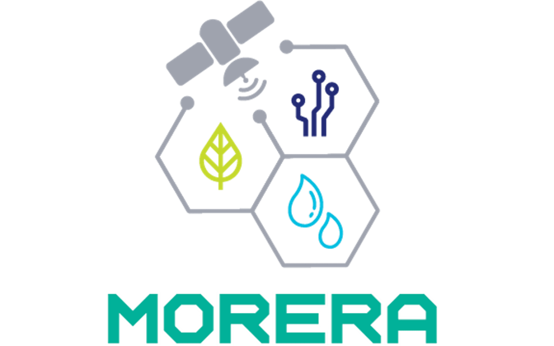
System for Monitoring Efficient Irrigation and Agricultural Yields
The MORERA project will develop a personalized irrigation recommendation system for each plot based on satellite imagery and Artificial Intelligence, as well as a new generation of miniaturized and compact remote sensing instruments to respond with agility to users’ needs.
Its goal is to boost the Spanish agricultural industry, the most important in the country with 11% of GDP, by providing personalized information to farmers that allows them to apply precision agriculture at low cost.
Pioneer project in irrigation and agricultural yield monitoring with new space-based sensors
MORERA is a pioneering initiative in the sector that will make it possible to develop personalized irrigation recommendations for each plot, allowing up to 25% water reduction in crops thanks to Artificial Intelligence and satellite imagery, integrating data from dedicated instruments and multiple sources (Copernicus, AEMET, etc.) and developing a new generation of miniaturized and compact space instruments for remote sensing.
Proposing a modular system that integrates deficit irrigation recommendations and yield prediction to optimize productivity, MORERA, which will be released in 2023, responds to one of the challenges of the “Science and Innovation Missions” call for proposals through which the Center for the Development of Industrial Technology (CDTI) seeks solutions to problems with a high impact on society through innovative technologies.
MORERA is the first project of a parcel recommendation system (not only maps) based on new remote sensing tools and Copernicus satellite data processed by Artificial Intelligence algorithms. It is also a pioneer project in Europe in using thermal infrared to calculate evapotranspiration and water stress, which will allow deficit irrigation management.
New generation of miniaturized instruments for remote sensing
Since this system will need optimized data for agricultural use and short update times, MORERA will also go further in the field of remote sensing to generate miniaturized and compact optical instruments with a combined size and resolution ratio not yet existing. This will be achieved through the application of freeform geometries in optical systems for space, which will reduce the size and cost of the system. These combined elements, not present in any of the instruments currently in service, must be compatible with small satellites and cubesat constellations in order to minimize development time and costs by increasing the versatility of the system (constellations that increase revisit and/or coverage, extrapolation to other applications or inclusion of new detection bands, etc.).
Benefits for the agricultural sector and industry
Thanks to MORERA, farmers will be able to apply precision agriculture at low cost with a system that will provide them with a periodic measurement of crop condition and give them personalized fertigation recommendations, as well as yield forecasts based on Artificial Intelligence and Big Data algorithms. This integrated concept represents an advance over the options currently available on the market, which responds to the needs of the sector in terms of resource management in the context of climate change.
In this line, MORERA will investigate new algorithms for processing remote sensing images with machine learning to optimize farmers’ decisions: recommendations in deficit irrigation scenarios and crop yield prediction.
Consortium members


MORERA’s consortium covers the entire value chain, with technology partners such as LIDAX and ASE OPTICS, systems experts such as Thales Alenia Space and reaching agricultural end users with companies such as TEPRO. Each industrial partner is accompanied by a leading national and European Public Research Organization (PRO) such as the National Institute for Aerospace Technology (INTA), the Institute for Sustainable Agriculture (IAS-CSIC) and the University of Valencia (UV), led in this project by José Antonio Sobrino, Principal Investigator of the project and winner of the Jaume I award for his use of remote sensing for environmental protection.
Thales Alenia Space España leads this consortium and will be in charge of the definition of the complete system, of the Artificial Intelligence algorithm in cooperation with TEPRO and IAS and of the definition and integration of the new thermal infrared instruments in cooperation with LIDAX, ASEOPTICS, INTA and UV, being responsible for the final integration and testing of the overall system prototype.
More Informationn…
If you are interested in learning more about this project, or would like more information about ASE Optics Europe’s capabilities and experience, please contact us!